
The landscape comes first
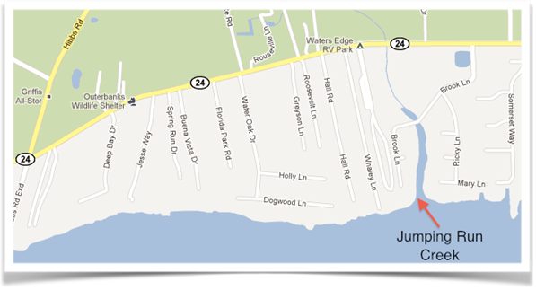
The Carteret evidence begins with place. Laughlin Quin's documented land interests lie in the Newport–Bogue Sound landscape at Jumping Run. The same family landscape later contains the private Quin–Gould burial ground and remains associated with descendants of Laughlin through his son Abner.
Documentary anchors
The Quin–Gould burial landscape
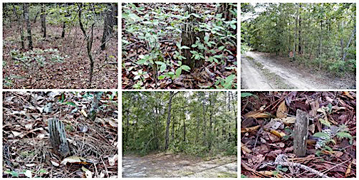
The Gould presence is physically attached to the same family landscape: Gould graves occur with the Quin/Quinn graves, and a later generation establishes a documented Quin–Gould marriage.
Private family burial ground
The Quin–Gould burial ground is on private Quinn family land and is not a public cemetery. The website intentionally does not publish the cemetery's precise location, coordinates, or directions. Access to the grave site is through Bo Quinn and requires permission.
Kinship after Laughlin
Loftin Bell Quinn, a descendant of Laughlin through Abner, married Mary “Polly” Gould. Members of the Gould family are also interred in the family burial landscape. The photographs preserved in the research were supplied by David Gould, a present-day descendant connected to these Carteret Goulds.
The historical question therefore reaches beyond a single marriage: when did the Gould family arrive on this precise Carteret landscape, where had they been immediately beforehand, and what network accompanied them?
What the map does — and does not — establish
The modern map is used to orient the reader to Newport, Spring Hill, Jumping Run, Bogue Sound and the surviving Quinn family landscape. The colonial records provide the historical land description. The two can be studied together, but the modern road map is not itself proof of the exact metes and bounds of Laughlin's 1764 grant.
Likewise, the cemetery's proximity to the modern Quinn property is part of the family landscape evidence. Its exact location remains private.